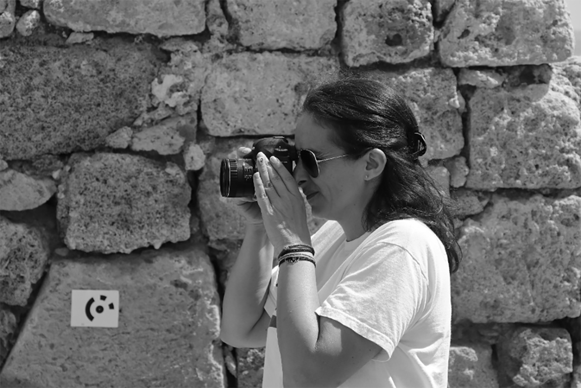
About
born in Athens (Greece) 1974
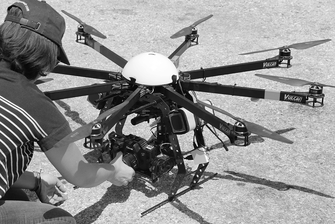
Sevasti Tapinaki is a Surveyor Engineer NTUA with master degree in Geoinformatics. She also holds a Certificate of UAS Remote Pilot C Competency. More about Education & Training.
She is a Teaching Laboratory Staff and a researcher of the Laboratory of Photogrammetry of School of Rural, Surveying and Geoinformatics Engineering of National Technical University of Athens.
She participates to the teaching of undergraduate and postgraduate courses and to the support of practical exercises and diploma theses. More about Teaching Experience
Her scientific interests focus on photogrammetry, 3D modeling and texture mapping, applications of computer vision techniques, the development and management of GIS and Databases, emphasising on Geometric Documentation of Cultural Heritage. She participates as a researcher in various Research Projects and in over 20 scientific publications in international journals and conference proceedings.
Also, she is responsible for the Design, maintenance and updating of the following websites:
- Laboratory of Photogrammetry of NTUA's Website
- Sevasti Tapinaki's Personal Webpage
- Parents Association of the 2nd Primary School of Melissia's Website

Education & Training
1994-1999: School of Rural & Surveying Engineering, National Technical University of Athens
2001-2003: Master degree in Geoinformatics from National Technical University of Athens
Jan 2020: Certificate of UAS Remote Pilot C Competency for Visual Line of Sight (VLOS) Open Category A1 & A3 subcategory unmanned aircraft of a maximum take-off mass (MTOM) up to twenty-five kilograms (<25 kg). Training at Hellenic Drones
Teaching Experience
Since 2007:
- Participation in the teaching of post and under graduate courses of Laboratory of Photogrammetry, mainly for the assistance, supervision and monitoring of the exercises.
- Support of practical exercises and diploma theses.
- Participation in teaching the course "Major Summer Exercises of Photogrammetry" of the 8th semester of the School of Rural and Surveying Engineering with the following goals:
- - Production of orthophotomaps of the Tilos Island and the region of the Archaeological Site Kimissala at Rhodes Island
- - Geometric documentation of the Church of St. George at Tilos Island
- - Geometric documentation of the Vaulted Graves during the excavation of the Archaeological Site Kimissala at Rhodes Island.
2013:
- Erasmus Intesive Programme HERICT - ICT at the Service of Cultural Heritage.
- Seminar on "Photogrammetric software PHOTOMOD LITE", Institute of Education & Training of Members of the Technical Chamber of Greece. Duration: 20 hours 20/05/2013 - 24/05/2013
2009:
3D Heritage Documentation for Conservation Workshop 12-16th January 2009, Castle of Arenberg, Leuven, Belgium. Organized by the Raymond Lemaire International Centre for Conservation and English Heritage.
1999-2000:
Participation in teaching the exercises of the course "Special Topics in Urban Planning" of the 9th semester of the School of Architecture, which includes the use of GIS in urban planning.
Member of organizing and scientific committees:
2017 - 7th International Workshop, 3D ARCH - 3D Virtual Reconstruction and Visualization of Complex Architectures
2016 - World Cultural Heritage Conference 2016 - Euromed 2016 - International Conference on Cultural Heritage Documentation, Preservation and Protection
2013 - Erasmus Intesive Programme HERICT - ICT at the Service of Cultural Heritage.
2007 - XXI CIPA International Symposium on 'Anticipating the future of the cultural past